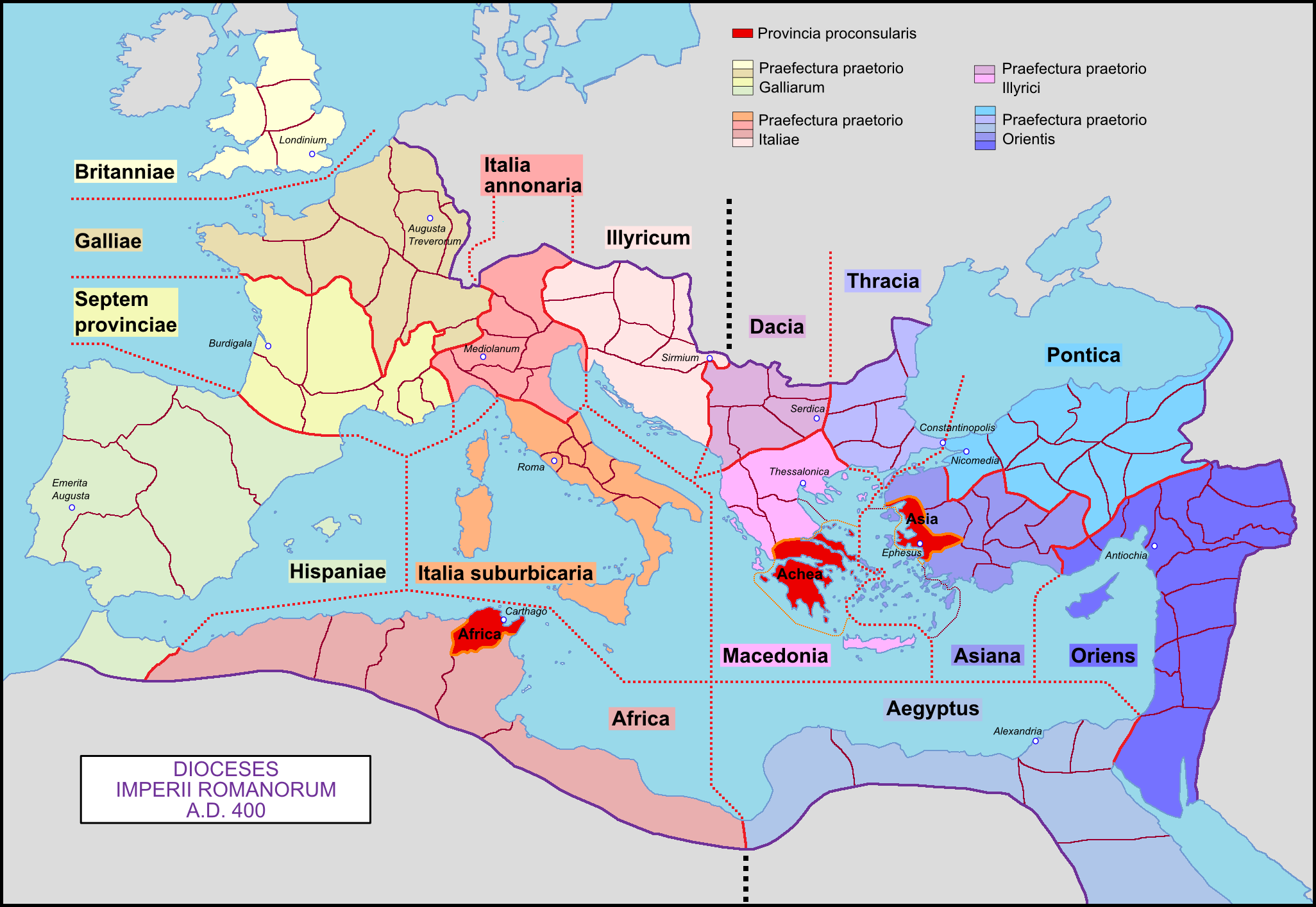
Maps and mapping of the ancient world remain an underutilised and under-theorised area of research in Roman history. Many maps included in modern classical publications are rather simple: a topographical view of the Mediterranean and the Roman Empire, perhaps with a few cities included, often placed at the beginning of the book with no explicit connection to the following text. This conference will explore how we as modern scholars can employ and make maps more usefully and methodologically soundly in our research to communicate and visualise our interpretations.
Research questions include:
- How do we display developments over time in maps?
- How do we deal with uncertainty in maps?
- How do we display varying degrees of control over territory?
- What are the advantages of employing maps to visualise the ancient world?
- What are the methodological pitfalls in the context of the ancient world?
- Do the methodological challenges vary considerable across time and space in the ancient world?
Programme
Methods and Challenges for Mapping the Ancient World
Programme Methods and Challenges for Mapping the Ancient World (2)
29. May
08.30: Introduction from Mads Ortving Lindholmer and Adrastos Omissi
Methodological approaches to ambiguity and doubt in mapping
08.50: Gabriel Moss, University of North Carolina: Beyond the Border: GIS Tools for Mapping the Spectrum of Roman Imperial Control
09.40: Dorian Borbonus, University of Dayton: Mapping the imperial city of Rome: experiments on an urban scale
10.30: Coffee break
11.00: Adrastos Omissi, University of Glasgow: Mapping Uncertainty: How to map the so-called “Kingdom of Soissons
11.50: Mads Ortving Lindholmer, The Danish Academy in Rome: Opening the Can of Worms: Doubt, Ambiguity and the Final Century of the West Roman Empire
12.40: Lunch
14.10: Fucheng Zhang, UCL: A Methodological Proposal for Mapping Territorial Control in Military Conflicts in Ancient Rome
15.00: Lindsay Holman, Jacksonville State University: Methods to Map Ambiguity in Class Maps
15.50: Coffee break
Ideology and cartography in the Roman world
16.20: Vanda Strachan, University of Oxford: A Rome by Any Other Name: toponyms, power, and the articulation of the ancient map
17.10: Helen Kaufman, Independent scholar: Spatial hyperbole and poetic geographies The Danish Academy in Rome, 29-30 May
30. May
Mapping the Late Roman Migration Period
09.00: Tillman Lohse, Humboldt-Universität zu Berlin: Mapping the Migration Period. History, Politics, and the Heavy Backpack of Cartographic Traditions
09.50: Salvatore Liccardo, University of Vienna: Beyond the arrow map: Rethinking the Way We Map Late Antique Migrations
10.40: Coffee break
11.10: Claire Holleran, University of Exeter: Mapping Migration in Roman Hispania: Possibilities and Pitfalls
Mapping Beyond Imperial Boundaries: Possibilities of Digital Cartography
12.00: Richard Westall, University of Dallas: Mapping Caesar’s Civil War
12.50: Lunch
14.20: Pietro Zaccaria, KU Leuven and Monica Berti, Universität Leipzig: Mapping Marvels Towards a Topographical Approach to Ancient Paradoxography
15.10: Coffee break
15.40: Giuseppina Marano, Universität Münster and Università di Pisa: Mapping Ancient Polytheisms Through Cartography
16.30: Greta Hawes, Macquarie University, Chiara Palladino, Furman University, Scott Smith, University of New Hampshire, Cian Colgan, Furman University: Visualising space and time in the Greek mythic storyworld